
Payl:Playa des ingles shoppingbeach.jpg
Gidak-on ning maong paunang tan-aw: 800 x 360 ka mga piksel. Uban pang mga resoluyon: 320 x 144 ka mga piksel | 640 x 288 ka mga piksel | 1,024 x 461 ka mga piksel | 1,280 x 576 ka mga piksel | 3,029 x 1,363 ka mga piksel.
Tibuok resolusyon (3,029 × 1,363 pixels, size sa payl: 900 KB, MIME type: image/jpeg)
| Deskripsyon |
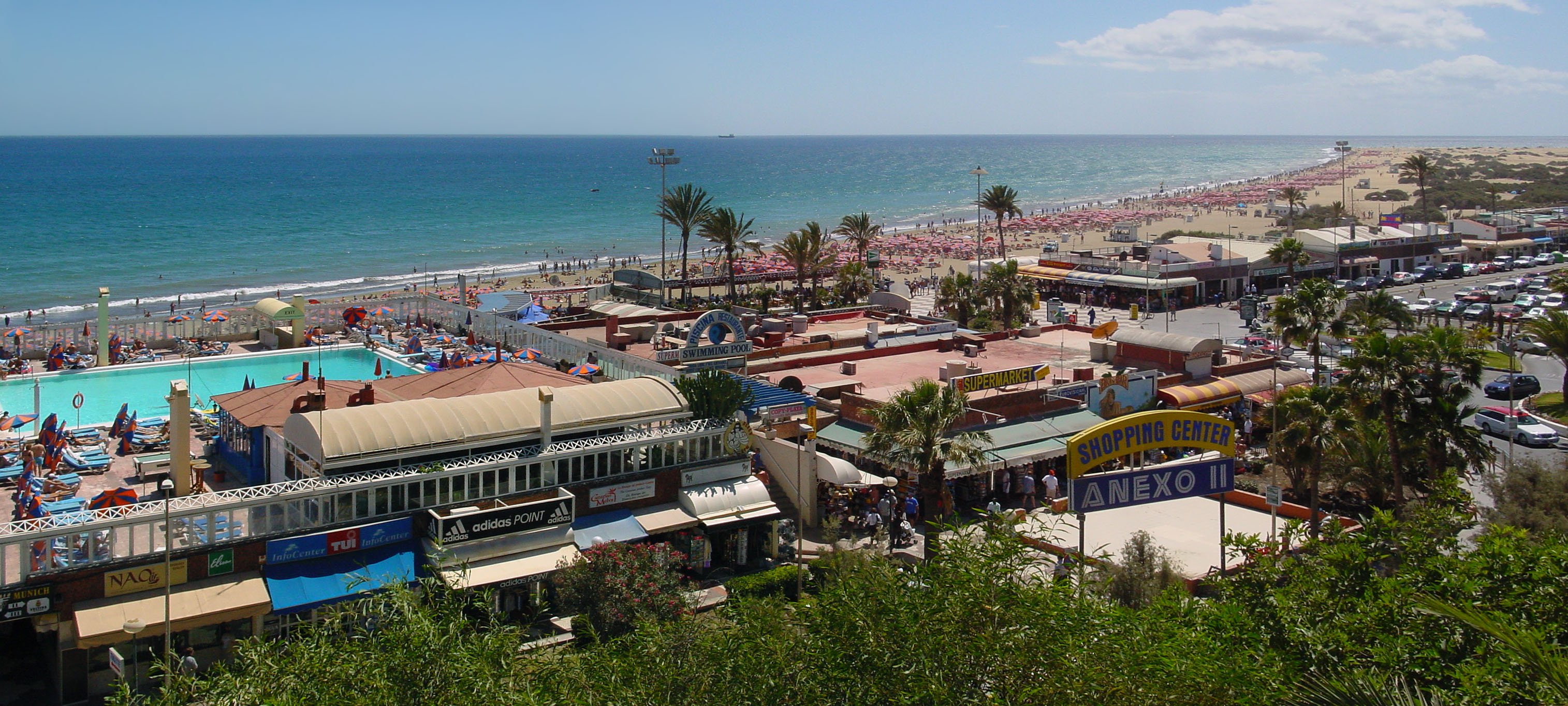
Gran Canaria, Playa del Inglés shopping centre and the beach, looking direction South.
|
||||
| Petsa | |||||
| Gigikanan | Kaugalingong trabaho | ||||
| Tagsulat | Wouter Hagens | ||||
| Pagtugot (Paggamit pag-usab niini nga file) |
|
Kaagi sa payl
I-klik ang petsa/oras aron makit-an ang hulagway sa payl niadtong panahona.
| Petsa/Takna | Thumbnail | Mga dimensyon | Tiggamit | Komento | |
|---|---|---|---|---|---|
| kasamtangan | 11:36, 25 Pebrero 2007 | | 3,029 × 1,363 (900 KB) | Wouterhagens | {{Information |Description=Gran Canaria, Playa des Ingles shopping centre and the beach. Latitude 27°45'23.54"N, longitude 15°34'4.70"W looking direction south |Source=own work |Date=2002-03-16 |Author=Wouter Hagens |Permission={{P |
Mga paggamit sa payl
Ang mosunod nga mga panid misumpay niining payl:
Global nga paggamit sa payl
Kining ubang wiki naggamit ning maong payl:
- Paggamit sa arz.wikipedia.org
- Paggamit sa az.wikipedia.org
- Paggamit sa cy.wikipedia.org
- Paggamit sa de.wikivoyage.org
- Paggamit sa en.wikipedia.org
- Paggamit sa eu.wikipedia.org
- Paggamit sa fi.wikipedia.org
- Paggamit sa fr.wikipedia.org
- Paggamit sa fr.wikivoyage.org
- Paggamit sa gl.wikipedia.org
- Paggamit sa nl.wikipedia.org
- Paggamit sa no.wikipedia.org
- Paggamit sa pl.wikipedia.org
- Paggamit sa pt.wikipedia.org
- Paggamit sa ru.wikipedia.org
- Paggamit sa sr.wikipedia.org
- Paggamit sa sv.wikipedia.org
- Paggamit sa www.wikidata.org