
Payl:Randøy bru.JPG
Gidak-on ning maong paunang tan-aw: 800 x 600 ka mga piksel. Uban pang mga resoluyon: 320 x 240 ka mga piksel | 640 x 480 ka mga piksel | 1,024 x 767 ka mga piksel | 1,280 x 959 ka mga piksel | 1,832 x 1,373 ka mga piksel.
Tibuok resolusyon (1,832 × 1,373 pixels, size sa payl: 1,023 KB, MIME type: image/jpeg)
Mubong sugid:
| Deskripsyon |
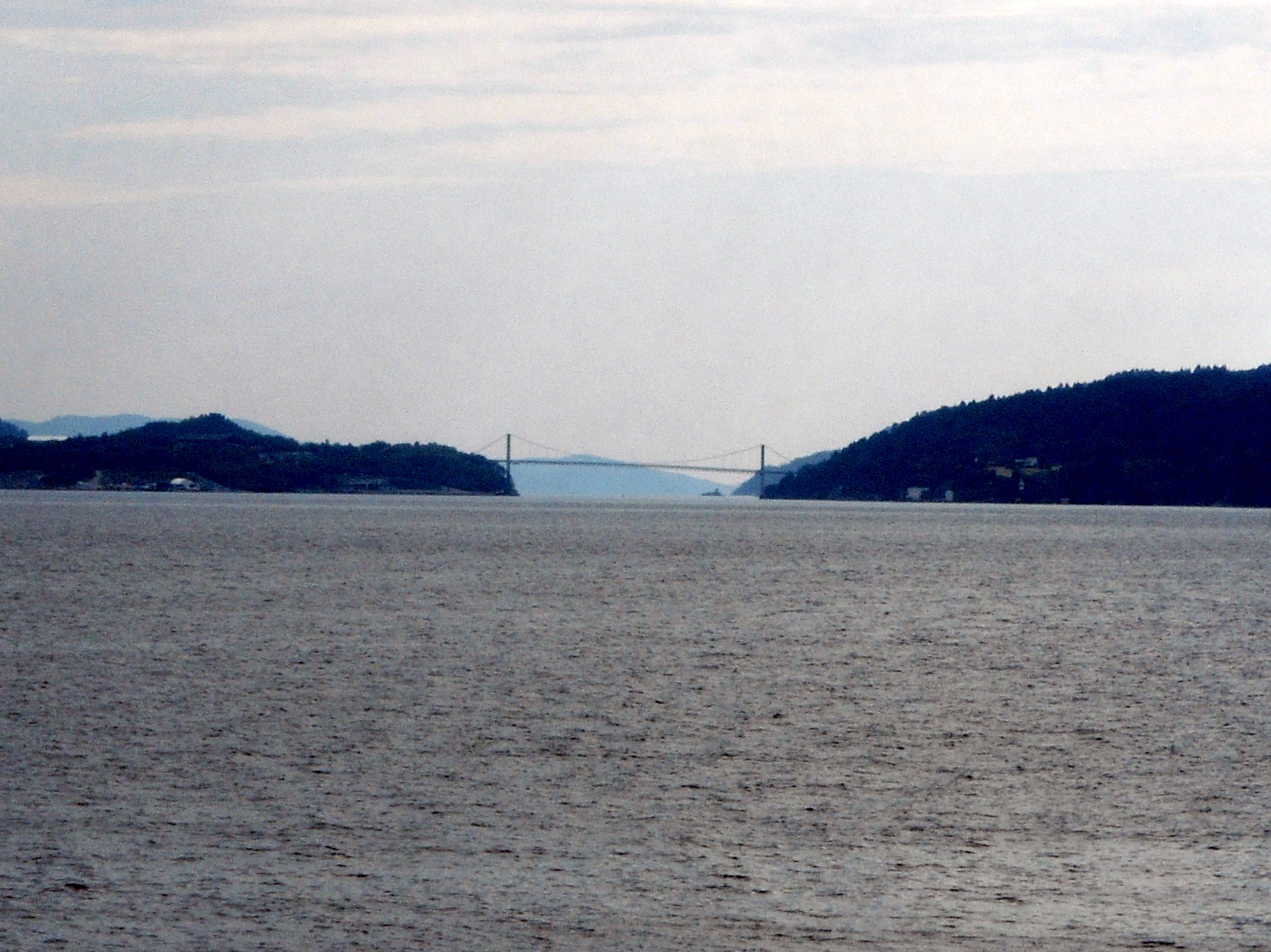
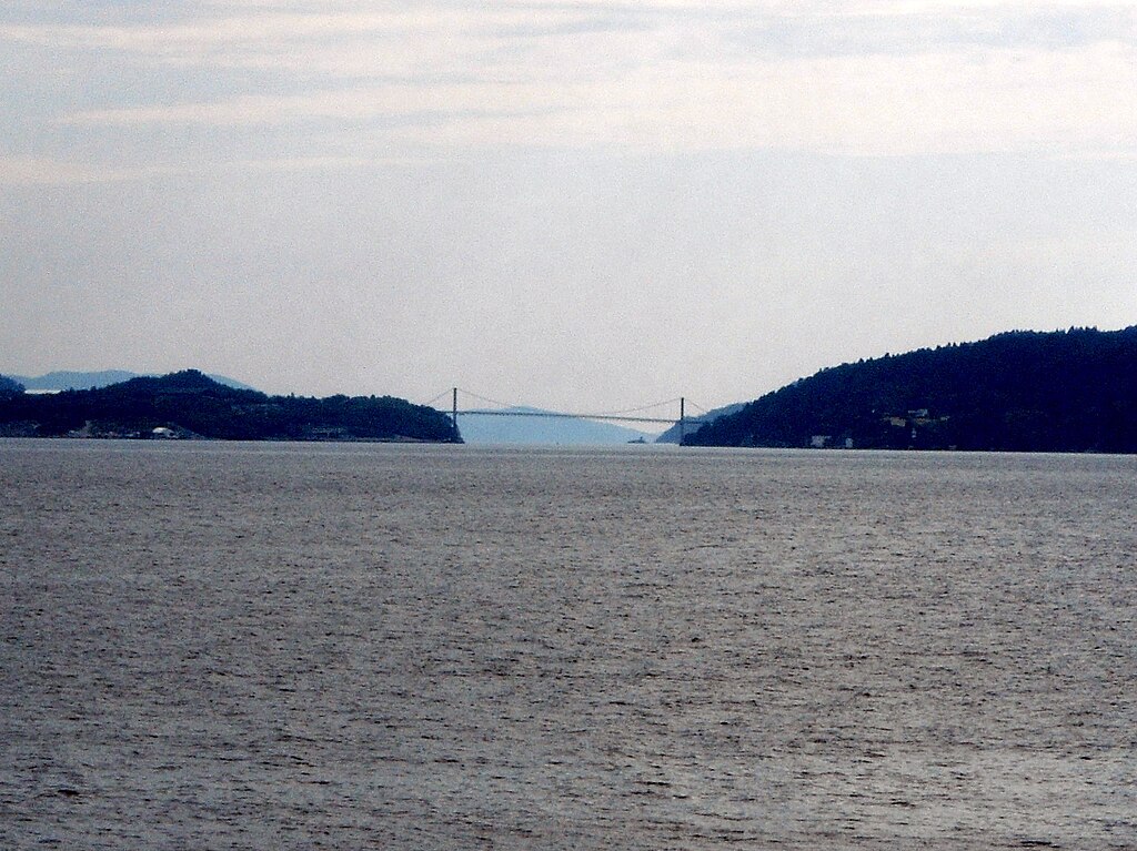
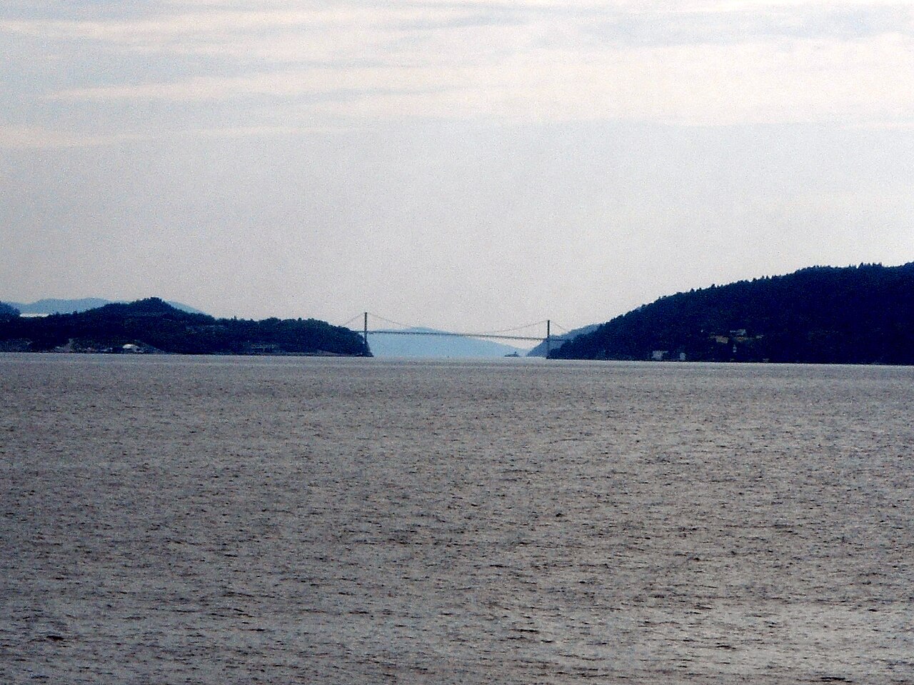
English: Randøy bru, a bridge in the municipality of Hjelmeland, Norway |
| Petsa | |
| Gigikanan | Kaugalingong trabaho |
| Tagsulat | Reinhardheydt |
| Camera location | | View this and other nearby images on: OpenStreetMap |
|---|
Pagtugot
| I, the copyright holder of this work, release this work into the public domain. This applies worldwide. In some countries this may not be legally possible; if so: I grant anyone the right to use this work for any purpose, without any conditions, unless such conditions are required by law. |
Kaagi sa payl
I-klik ang petsa/oras aron makit-an ang hulagway sa payl niadtong panahona.
| Petsa/Takna | Thumbnail | Mga dimensyon | Tiggamit | Komento | |
|---|---|---|---|---|---|
| kasamtangan | 21:15, 8 Hulyo 2009 | | 1,832 × 1,373 (1,023 KB) | Reinhardheydt | {{Information |Description={{en|1=Randøy bru, a bridge in the municipality of Hjelmeland, Norway}} |Source=Own work by uploader |Author=Reinhardheydt |Date=2009-06-29 |Permission= |other_versions= }} {{location|59|15|16.11|N|6|9|41 |
Mga paggamit sa payl
Ang mosunod nga mga panid misumpay niining payl:
Global nga paggamit sa payl
Kining ubang wiki naggamit ning maong payl:
- Paggamit sa da.wikipedia.org
- Paggamit sa en.wikipedia.org
- Paggamit sa fr.wikipedia.org
- Paggamit sa nn.wikipedia.org
- Paggamit sa no.wikipedia.org
- Paggamit sa tr.wikipedia.org
- Paggamit sa www.wikidata.org