
Payl:South Korea physical map.svg

Size of this PNG preview of this SVG file: 762 x 600 ka mga piksel. Uban pang mga resoluyon: 305 x 240 ka mga piksel | 610 x 480 ka mga piksel | 976 x 768 ka mga piksel | 1,280 x 1,008 ka mga piksel | 2,560 x 2,016 ka mga piksel | 851 x 670 ka mga piksel.
Tibuok resolusyon (SVG nga payl, nominally 851 × 670 pixels, size sa payl: 1.66 MB)
Mubong sugid:
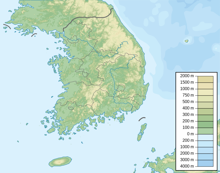
| Deskripsyon | Map of South Korea, parameters equivalent to File:South Korea location map.svg |
| Petsa | |
| Gigikanan | Kaugalingong trabaho |
| Tagsulat | Urutseg |
| SVG genesis | This locator map was created with Inkscape. |
Pagtugot
I, the copyright holder of this work, hereby publish it under the following license:
| This file is made available under the Creative Commons CC0 1.0 Universal Public Domain Dedication. | |
| The person who associated a work with this deed has dedicated the work to the public domain by waiving all of their rights to the work worldwide under copyright law, including all related and neighboring rights, to the extent allowed by law. You can copy, modify, distribute and perform the work, even for commercial purposes, all without asking permission.
|
Kaagi sa payl
I-klik ang petsa/oras aron makit-an ang hulagway sa payl niadtong panahona.
| Petsa/Takna | Thumbnail | Mga dimensyon | Tiggamit | Komento | |
|---|---|---|---|---|---|
| kasamtangan | 05:08, 3 Enero 2023 | | 851 × 670 (1.66 MB) | Antonsusi | also |
| 05:05, 3 Enero 2023 |  | 851 × 670 (1.66 MB) | Antonsusi | validizing | |
| 16:16, 4 Hunyo 2013 |  | 851 × 670 (1.67 MB) | Garam | - Western Sea Military Demarcation Line | |
| 04:09, 25 Hulyo 2011 |  | 851 × 670 (1.68 MB) | Urutseg | moing legend away from Dokdo(en:Liancourt Rocks) | |
| 18:34, 12 Marso 2011 |  | 851 × 670 (1.68 MB) | Urutseg |
Mga paggamit sa payl
Ang mosunod nga mga panid misumpay niining payl:
Global nga paggamit sa payl
Kining ubang wiki naggamit ning maong payl:
- Paggamit sa arz.wikipedia.org
- Paggamit sa ast.wikipedia.org
- Paggamit sa azb.wikipedia.org
- Paggamit sa ban.wikipedia.org
- Paggamit sa ba.wikipedia.org
- Paggamit sa be.wikipedia.org
- Paggamit sa bn.wikipedia.org
- Paggamit sa ca.wikipedia.org
- Paggamit sa ce.wikipedia.org
- Paggamit sa ckb.wikipedia.org
- Paggamit sa cs.wikipedia.org
- Paggamit sa da.wikipedia.org
- Paggamit sa de.wikipedia.org
- Paggamit sa de.wikivoyage.org
View more global usage of this file.