
Payl:South from Roundway Hill - geograph.org.uk - 1369696.jpg
Walay mas taas nga resolusyon.
South_from_Roundway_Hill_-_geograph.org.uk_-_1369696.jpg (640 × 459 pixels, size sa payl: 169 KB, MIME type: image/jpeg)
Mubong sugid:
| Deskripsyon |
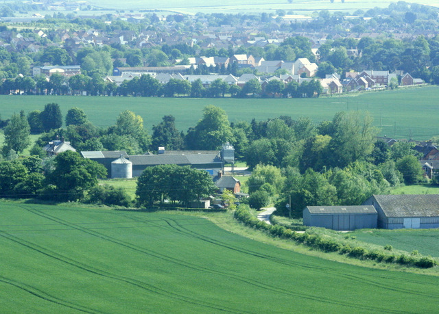
English: South from Roundway Hill Looking down on Roundway Hill Farm. The north east part of Devizes is beyond, straggling along the A361.
The crop in the foreground field is probably wheat. |
| Petsa | |
| Gigikanan | From geograph.org.uk |
| Tagsulat | Maurice Pullin |
| Camera location | | View this and other nearby images on: OpenStreetMap |
|---|
_heading:157.00&language=ceb)
| Object location | | View this and other nearby images on: OpenStreetMap |
|---|
_heading:157.00&language=ceb)
Pagtugot

|
This image was taken from the Geograph project collection. See this photograph's page on the Geograph website for the photographer's contact details. The copyright on this image is owned by Maurice Pullin and is licensed for reuse under the Creative Commons Attribution-ShareAlike 2.0 license.
|
This file is licensed under the Creative Commons Attribution-Share Alike 2.0 Generic license.
Attribution: Maurice Pullin
- Libre ka:
- sa pagsabwag – sa pagkopya, pag-apod-apod ug pagsabwag sa hinimo
- sa pag-remix – sa pag-adap sa binuhat
- Ubos sa mosunod nga mga kondisyon:
- atribusyon – Kinahanglan nimo nga hatagan ang angay nga kredito, maghatag usa ka link sa lisensya, ug ipakita kung adunay mga pagbag-o. Mahimo nimo kini buhaton sa bisan unsang makatarunganon nga paagi, apan dili sa bisan unsang paagi nga nagsugyot nga gi-endorso ka sa licensor o ang imong paggamit.
- share parehas – Kung imong gi-remix, gibag-o, o gibase sa materyal, kinahanglan nimo nga iapod-apod ang imong mga kontribusyon sa ilawom sa parehas o katugma nga lisensya sama sa orihinal.
Kaagi sa payl
I-klik ang petsa/oras aron makit-an ang hulagway sa payl niadtong panahona.
| Petsa/Takna | Thumbnail | Mga dimensyon | Tiggamit | Komento | |
|---|---|---|---|---|---|
| kasamtangan | 12:23, 28 Pebrero 2011 | | 640 × 459 (169 KB) | GeographBot | == {{int:filedesc}} == {{Information |description={{en|1=South from Roundway Hill Looking down on Roundway Hill Farm. The north east part of Devizes is beyond, straggling along the A361. The crop in the foreground field is probably wheat.}} |date=2009-06 |
Mga paggamit sa payl
Ang mosunod nga mga panid misumpay niining payl:
Global nga paggamit sa payl
Kining ubang wiki naggamit ning maong payl: