
Payl:Thomas C. Russell Field.jpg

Gidak-on ning maong paunang tan-aw: 600 x 600 ka mga piksel. Uban pang mga resoluyon: 240 x 240 ka mga piksel | 480 x 480 ka mga piksel | 768 x 768 ka mga piksel | 1,024 x 1,024 ka mga piksel | 1,831 x 1,831 ka mga piksel.
Tibuok resolusyon (1,831 × 1,831 pixels, size sa payl: 1.11 MB, MIME type: image/jpeg)
Mubong sugid:
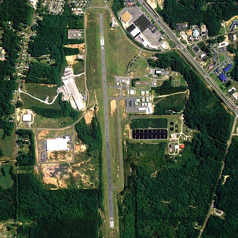
| Deskripsyon | Aerial image of Thomas C. Russell Field, an airport in Alexander City, Alabama, United States |
| Petsa | |
| Gigikanan | National Agriculture Imagery Program (NAIP) Orthoimagery for Zone 16 Alabama State Quarter Quadrangle ALEXANDER CITY, SW and I.D. # n_3208501_sw_16_1_20060630.tif |
| Tagsulat | United States Department of Agriculture (USDA), Farm Services Agency |
| Pagtugot (Paggamit pag-usab niini nga file) |
Public domain |
Pagtugot
This image or file is a work of a United States Department of Agriculture employee, taken or made as part of that person's official duties. As a work of the U.S. federal government, the image is in the public domain.
|
 |
Kaagi sa payl
I-klik ang petsa/oras aron makit-an ang hulagway sa payl niadtong panahona.
| Petsa/Takna | Thumbnail | Mga dimensyon | Tiggamit | Komento | |
|---|---|---|---|---|---|
| kasamtangan | 16:57, 26 Hunyo 2009 | | 1,831 × 1,831 (1.11 MB) | AuburnPilot | == Summary == {{Information |Description=Satellite image of Thomas C. Russell Field in Alexander City, Alabama, United States on 30 June 2006 |Source=United States Geological Survey (National Agriculture Imagery Program (NAI |
Mga paggamit sa payl
Ang mosunod nga mga panid misumpay niining payl:
Global nga paggamit sa payl
Kining ubang wiki naggamit ning maong payl:
- Paggamit sa arz.wikipedia.org
- Paggamit sa en.wikipedia.org
- Paggamit sa fa.wikipedia.org
- Paggamit sa tg.wikipedia.org
- Paggamit sa www.wikidata.org