
Payl:Torres Islands-fr.svg

Size of this PNG preview of this SVG file: 455 x 599 ka mga piksel. Uban pang mga resoluyon: 182 x 240 ka mga piksel | 364 x 480 ka mga piksel | 583 x 768 ka mga piksel | 778 x 1,024 ka mga piksel | 1,555 x 2,048 ka mga piksel | 938 x 1,235 ka mga piksel.
Tibuok resolusyon (SVG nga payl, nominally 938 × 1,235 pixels, size sa payl: 169 KB)
Mubong sugid:
| Deskripsyon |
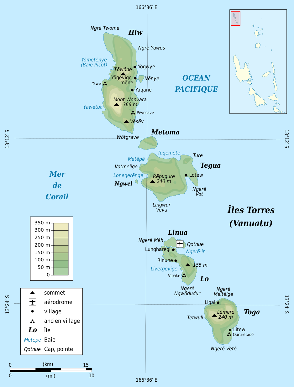
Esperanto: Franclingva mapo de insuloj Torres, Vanuatuo.
|
| Petsa | |
| Gigikanan |
English: Own work.
Français : Travail personnel.
|
| Tagsulat | Mutichou |
| Other versions |
[]
|


| Camera location | | View this and other nearby images on: OpenStreetMap |
|---|

|
This SVG file contains embedded text that can be translated into your language, using any capable SVG editor, text editor or the SVG Translate tool. For more information see: About translating SVG files. |
This W3C-unspecified vector image was created with Inkscape .
Pagtugot
I, the copyright holder of this work, hereby publish it under the following licenses:

|
Gitugot ang pagkopya, pag-apud-apod o/ug pag-usab ning maong dokumento ubos sa mga termino sa GNU Free Documentation License, Version 1.2 o mas bag-ong bersiyon nga gimantala sa Free Software Foundation; nga walay Invariant Sections, walay Front-Cover Texts, ug walay Back-Cover Texts. Ang kopya sa lisensiya gilakip sa bahin nga giulohang GNU Free Documentation License. |
This file is licensed under the Creative Commons Attribution-Share Alike 3.0 Unported, 2.5 Generic, 2.0 Generic and 1.0 Generic license.
- Libre ka:
- sa pagsabwag – sa pagkopya, pag-apod-apod ug pagsabwag sa hinimo
- sa pag-remix – sa pag-adap sa binuhat
- Ubos sa mosunod nga mga kondisyon:
- atribusyon – Kinahanglan nimo nga hatagan ang angay nga kredito, maghatag usa ka link sa lisensya, ug ipakita kung adunay mga pagbag-o. Mahimo nimo kini buhaton sa bisan unsang makatarunganon nga paagi, apan dili sa bisan unsang paagi nga nagsugyot nga gi-endorso ka sa licensor o ang imong paggamit.
- share parehas – Kung imong gi-remix, gibag-o, o gibase sa materyal, kinahanglan nimo nga iapod-apod ang imong mga kontribusyon sa ilawom sa parehas o katugma nga lisensya sama sa orihinal.
You may select the license of your choice.
Kaagi sa payl
I-klik ang petsa/oras aron makit-an ang hulagway sa payl niadtong panahona.
| Petsa/Takna | Thumbnail | Mga dimensyon | Tiggamit | Komento | |
|---|---|---|---|---|---|
| kasamtangan | 13:57, 25 Nobiyembre 2010 | | 938 × 1,235 (169 KB) | Mutichou | corrections |
| 19:17, 24 Nobiyembre 2010 |  | 938 × 1,235 (170 KB) | Mutichou | plus de toponymes / more place names | |
| 17:54, 23 Nobiyembre 2010 |  | 938 × 1,235 (120 KB) | Mutichou | {{Information |Description={{en|1=Map of Torres Islands, Vanuatu in French.}} {{eo|1=Franclingva mapo de insuloj Torres, Vanuatuo.}} {{fr|1=Carte en français des îles Torres, [ |
Mga paggamit sa payl
Ang mosunod nga mga panid misumpay niining payl:
Global nga paggamit sa payl
Kining ubang wiki naggamit ning maong payl:
- Paggamit sa es.wikipedia.org
- Paggamit sa fr.wikipedia.org
- Paggamit sa www.wikidata.org