
Payl:USA Rhode Island location map.svg

Size of this PNG preview of this SVG file: 445 x 599 ka mga piksel. Uban pang mga resoluyon: 178 x 240 ka mga piksel | 356 x 480 ka mga piksel | 570 x 768 ka mga piksel | 760 x 1,024 ka mga piksel | 1,520 x 2,048 ka mga piksel | 758 x 1,021 ka mga piksel.
Tibuok resolusyon (SVG nga payl, nominally 758 × 1,021 pixels, size sa payl: 91 KB)
Mubong sugid:
| Deskripsyon |
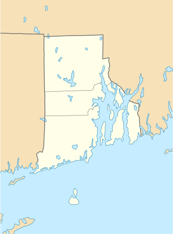
Quadratische Plattkarte, N-S-Streckung 135 %. Geographische Begrenzung der Karte:
Equirectangular projection, N/S stretching 135 %. Geographic limits of the map:
|
| Petsa | 11 Hunyo 2009 (upload date) |
| Gigikanan |
own work, using
|
| Tagsulat | NordNordWest |
| Other versions |
Derivative works of this file: |

|
This map has been made or improved in the German Kartenwerkstatt (Map Lab). You can propose maps to improve as well.
|
Pagtugot
I, the copyright holder of this work, hereby publish it under the following licenses:

|
Gitugot ang pagkopya, pag-apud-apod o/ug pag-usab ning maong dokumento ubos sa mga termino sa GNU Free Documentation License, Version 1.2 o mas bag-ong bersiyon nga gimantala sa Free Software Foundation; nga walay Invariant Sections, walay Front-Cover Texts, ug walay Back-Cover Texts. Ang kopya sa lisensiya gilakip sa bahin nga giulohang GNU Free Documentation License. |
This file is licensed under the Creative Commons Attribution 3.0 Unported license.
- Libre ka:
- sa pagsabwag – sa pagkopya, pag-apod-apod ug pagsabwag sa hinimo
- sa pag-remix – sa pag-adap sa binuhat
- Ubos sa mosunod nga mga kondisyon:
- atribusyon – Kinahanglan nimo nga hatagan ang angay nga kredito, maghatag usa ka link sa lisensya, ug ipakita kung adunay mga pagbag-o. Mahimo nimo kini buhaton sa bisan unsang makatarunganon nga paagi, apan dili sa bisan unsang paagi nga nagsugyot nga gi-endorso ka sa licensor o ang imong paggamit.
You may select the license of your choice.
Kaagi sa payl
I-klik ang petsa/oras aron makit-an ang hulagway sa payl niadtong panahona.
| Petsa/Takna | Thumbnail | Mga dimensyon | Tiggamit | Komento | |
|---|---|---|---|---|---|
| kasamtangan | 18:51, 11 Hunyo 2009 | | 758 × 1,021 (91 KB) | NordNordWest | {{Information |Description= {{de|Positionskarte von Rhode Island, USA}} Quadratische Plattkarte, N-S-Streckung 135 %. Geographische Begrenzung der Karte: * N: 42.2° N * S: 41.0° N * W: 72.1° W * O: 70.9° W {{en|Locatio |
Mga paggamit sa payl
Ang mosunod nga mga panid misumpay niining payl:
Global nga paggamit sa payl
Kining ubang wiki naggamit ning maong payl:
- Paggamit sa an.wikipedia.org
- Paggamit sa ar.wikipedia.org
- Paggamit sa azb.wikipedia.org
- Paggamit sa az.wikipedia.org
- Paggamit sa be-tarask.wikipedia.org
- Paggamit sa bg.wikipedia.org
- Paggamit sa bn.wikipedia.org
- টেমপ্লেট:অবস্থান মানচিত্র মার্কিন যুক্তরাষ্ট্রের রোড আইল্যান্ড
- ফস্টার-পেইন হাউস
- ১৭৬১ মাইলস্টোন
- পঞ্চম ওয়ার্ড ওয়ার্ডরুম
- ফায়ার স্টেশন নং ৪ (পটাকেট, রোডি আইল্যান্ড)
- ব্রাউন স্টেডিয়াম
- মডিউল:অবস্থান মানচিত্র/উপাত্ত/মার্কিন যুক্তরাষ্ট্র রোড আইল্যান্ড
- মডিউল:অবস্থান মানচিত্র/উপাত্ত/মার্কিন যুক্তরাষ্ট্র রোড আইল্যান্ড/নথি
- Paggamit sa ca.wikipedia.org
- Paggamit sa ce.wikipedia.org
- Paggamit sa cs.wikipedia.org
- Paggamit sa de.wikipedia.org
- Middletown (Rhode Island)
- Portsmouth (Rhode Island)
- Newport (Rhode Island)
- Providence
- Narragansett (Rhode Island)
- Charlestown (Rhode Island)
- Johnston (Rhode Island)
- Cranston (Rhode Island)
- Barrington (Rhode Island)
- Kingston (Rhode Island)
- Amica Mutual Pavilion
- Warwick (Rhode Island)
- Vorlage:Positionskarte USA Rhode Island
- Woonsocket (Rhode Island)
- Bradford (Rhode Island)
- Bristol (Rhode Island)
- Central Falls
- Coventry (Rhode Island)
- Cumberland (Rhode Island)
- East Greenwich
View more global usage of this file.