
Payl:U.S. Washington location map.svg

Size of this PNG preview of this SVG file: 800 x 563 ka mga piksel. Uban pang mga resoluyon: 320 x 225 ka mga piksel | 640 x 451 ka mga piksel | 1,024 x 721 ka mga piksel | 1,280 x 901 ka mga piksel | 2,560 x 1,803 ka mga piksel | 1,501 x 1,057 ka mga piksel.
Tibuok resolusyon (SVG nga payl, nominally 1,501 × 1,057 pixels, size sa payl: 561 KB)
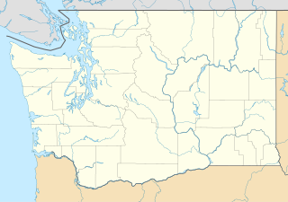
Waller-Sean city-Clover Creek,WA
Mubong sugid:
| Deskripsyon |
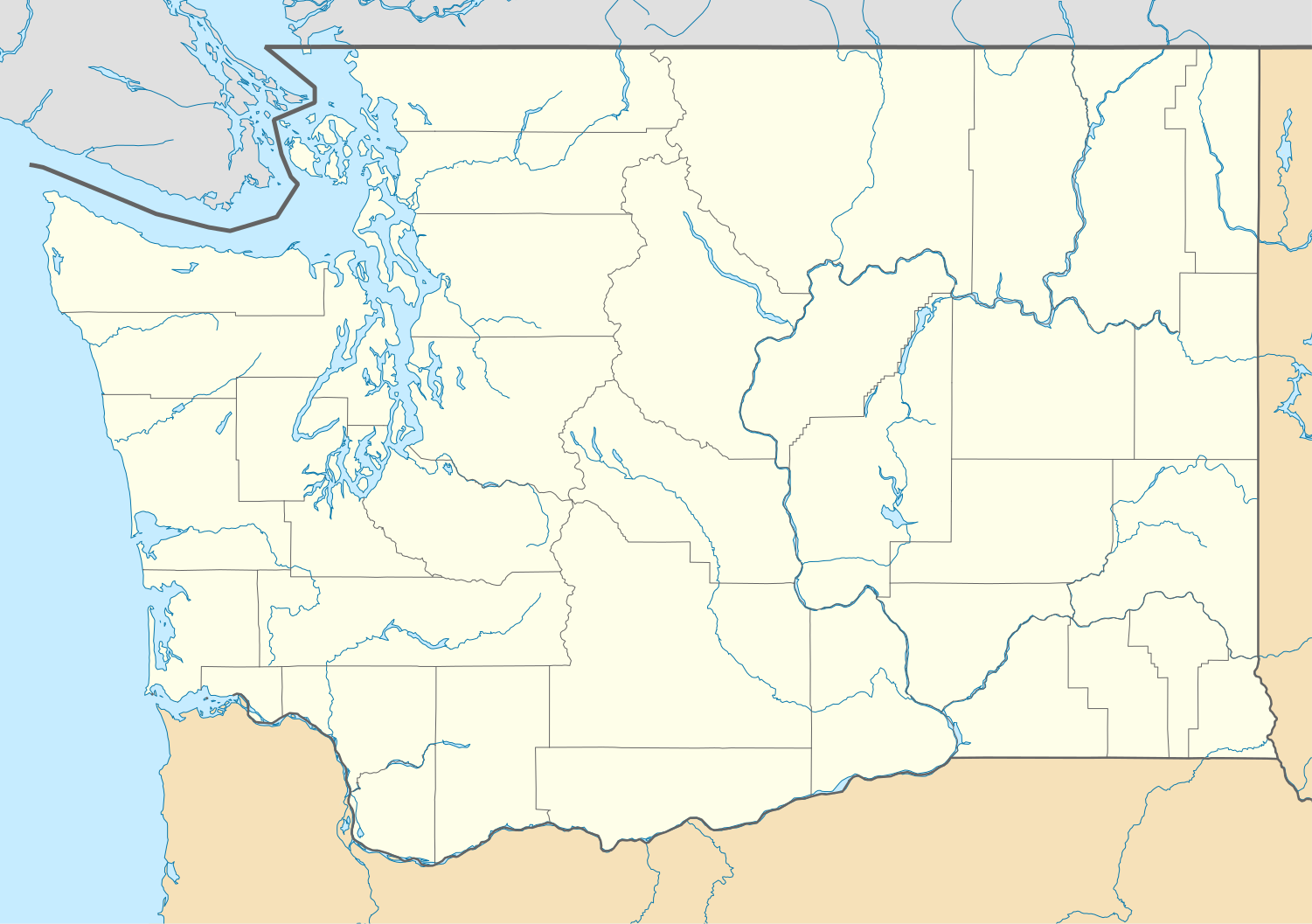
Quadratische Plattkarte, N-S-Streckung 150.0 %. Geographische Begrenzung der Karte:
Equirectangular projection, N/S stretching 150.0 %. Geographic limits of the map:
|
| Petsa | |
| Gigikanan | Kaugalingong trabaho |
| Tagsulat | Alexrk2 |
| Other versions |
Derivative works of this file: FirstCitizensBancShares footprint.png Derivative works of this file:
|


|
This map has been made or improved in the German Kartenwerkstatt (Map Lab). You can propose maps to improve as well.
|
Pagtugot
I, the copyright holder of this work, hereby publish it under the following licenses:

|
Gitugot ang pagkopya, pag-apud-apod o/ug pag-usab ning maong dokumento ubos sa mga termino sa GNU Free Documentation License, Version 1.2 o mas bag-ong bersiyon nga gimantala sa Free Software Foundation; nga walay Invariant Sections, walay Front-Cover Texts, ug walay Back-Cover Texts. Ang kopya sa lisensiya gilakip sa bahin nga giulohang GNU Free Documentation License. |
This file is licensed under the Creative Commons Attribution 3.0 Unported license.
- Libre ka:
- sa pagsabwag – sa pagkopya, pag-apod-apod ug pagsabwag sa hinimo
- sa pag-remix – sa pag-adap sa binuhat
- Ubos sa mosunod nga mga kondisyon:
- atribusyon – Kinahanglan nimo nga hatagan ang angay nga kredito, maghatag usa ka link sa lisensya, ug ipakita kung adunay mga pagbag-o. Mahimo nimo kini buhaton sa bisan unsang makatarunganon nga paagi, apan dili sa bisan unsang paagi nga nagsugyot nga gi-endorso ka sa licensor o ang imong paggamit.
You may select the license of your choice.
Kaagi sa payl
I-klik ang petsa/oras aron makit-an ang hulagway sa payl niadtong panahona.
| Petsa/Takna | Thumbnail | Mga dimensyon | Tiggamit | Komento | |
|---|---|---|---|---|---|
| kasamtangan | 16:20, 2 Oktubre 2009 | | 1,501 × 1,057 (561 KB) | Alexrk2 | == Beschreibung == {{Information |Description= {{de|Positionskarte von Washington, USA}} Quadratische Plattkarte, N-S-Streckung 150.0 %. Geographische Begrenzung der Karte: * N: 49.2° N * S: 45.3° N * W: 125.0° W * O: 116 |
Mga paggamit sa payl
Ang mosunod nga mga panid misumpay niining payl:
Global nga paggamit sa payl
Kining ubang wiki naggamit ning maong payl:
- Paggamit sa af.wikipedia.org
- Paggamit sa an.wikipedia.org
- Paggamit sa ar.wikipedia.org
- Paggamit sa ast.wikipedia.org
- Paggamit sa azb.wikipedia.org
- بلینقهام، واشینقتون
- اولمپیا، واشینقتون
- پریری هایتس، واشینقتون
- استنزبری لیک، واشینقتون
- باتل ایست، واشینقتون
- ویلاپا، واشینقتون
- چلن فالز، واشینقتون
- بارنیز جانکشن، واشینقتون
- سامیت ویو، واشینقتون
- توربوی، واشینقتون
- بویدز، واشینقتون
- دنویل، واشینقتون
- ریدروود، واشینقتون
- اسکاموکاوا ولی، واشینقتون
- واونا، واشینقتون
- بلفیر، واشینقتون
- هوداسپورت، واشینقتون
- بتل، واشینقتون
- لاپوش، واشینقتون
- کلیفدل، واشینقتون
- انتای، واشینقتون
- ساندی لیک، واشینقتون
- کاپوسین، واشینقتون
- نایل، واشینقتون
- روزبرق، واشینقتون
- کووچی، واشینقتون
- تامپیکو، واشینقتون
- هنسویل، واشینقتون
- آوتلوک، واشینقتون
- مالو، واشینقتون
- لوفال، واشینقتون
- سکیو، واشینقتون
- مکمیلین، واشینقتون
- کولرو، واشینقتون
- بولوارد پارک، واشینقتون
- پارکر، واشینقتون
- کراکر، واشینقتون
- دونالد، واشینقتون
- واکاندا، واشینقتون
- چیکو، واشینقتون
View more global usage of this file.