
Payl:Ward near Fourth in Caruthersville.jpg
Gidak-on ning maong paunang tan-aw: 800 x 450 ka mga piksel. Uban pang mga resoluyon: 320 x 180 ka mga piksel | 640 x 360 ka mga piksel | 1,024 x 576 ka mga piksel | 1,280 x 720 ka mga piksel | 2,816 x 1,584 ka mga piksel.
Tibuok resolusyon (2,816 × 1,584 pixels, size sa payl: 977 KB, MIME type: image/jpeg)
| Camera location | | View this and other nearby images on: OpenStreetMap |
|---|
| Deskripsyon |
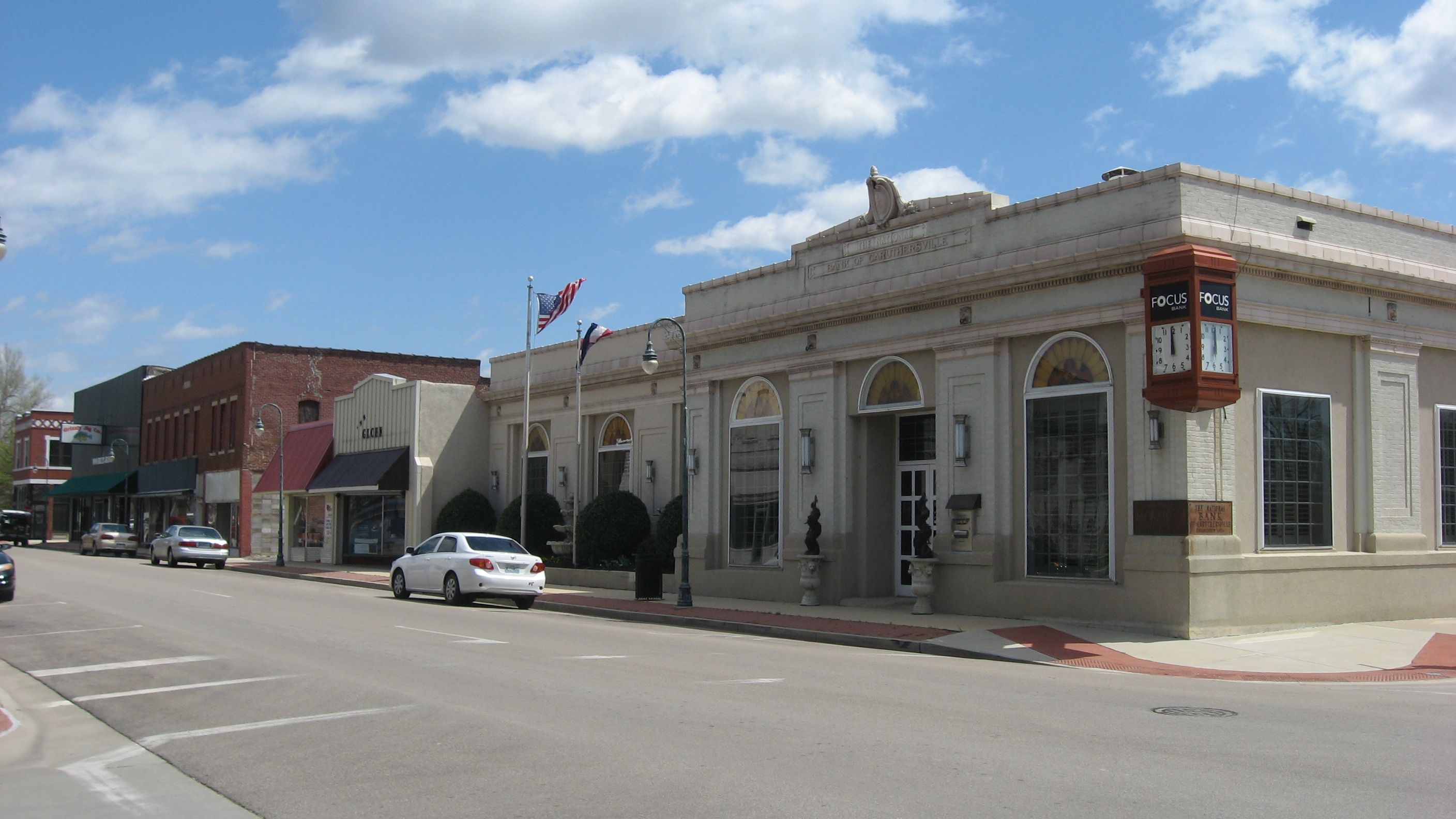
English: Buildings on the eastern side of Ward Avenue north of the Fourth Street intersection in downtown Caruthersville, Missouri, United States. |
||
| Petsa | Taken on 12 Abril 2013 | ||
| Gigikanan | Kaugalingong trabaho | ||
| Tagsulat | Nyttend | ||
| Pagtugot (Paggamit pag-usab niini nga file) |
|
Kaagi sa payl
I-klik ang petsa/oras aron makit-an ang hulagway sa payl niadtong panahona.
| Petsa/Takna | Thumbnail | Mga dimensyon | Tiggamit | Komento | |
|---|---|---|---|---|---|
| kasamtangan | 22:28, 17 Abril 2013 | | 2,816 × 1,584 (977 KB) | Nyttend | {{Location|36|11|30|N|89|39|16|W}} {{Information |Description={{en|Buildings on the eastern side of Ward Street north of the Fourth Street intersection in downtown {{w|Caruthersville, Missouri|Caruthersville}}, {{w|Missouri}}, {{w|United States}}.}} |S... |
Mga paggamit sa payl
Ang mosunod nga mga panid misumpay niining payl:
Global nga paggamit sa payl
Kining ubang wiki naggamit ning maong payl:
- Paggamit sa ar.wikipedia.org
- Paggamit sa arz.wikipedia.org
- Paggamit sa azb.wikipedia.org
- Paggamit sa ca.wikipedia.org
- Paggamit sa ce.wikipedia.org
- Paggamit sa cy.wikipedia.org
- Paggamit sa en.wikipedia.org
- Paggamit sa es.wikipedia.org
- Paggamit sa eu.wikipedia.org
- Paggamit sa fa.wikipedia.org
- Paggamit sa fr.wikipedia.org
- Paggamit sa ht.wikipedia.org
- Paggamit sa hu.wikipedia.org
- Paggamit sa it.wikipedia.org
- Paggamit sa ky.wikipedia.org
- Paggamit sa lld.wikipedia.org
- Paggamit sa pl.wikipedia.org
- Paggamit sa pt.wikipedia.org
- Paggamit sa sh.wikipedia.org
- Paggamit sa sr.wikipedia.org
- Paggamit sa sv.wikipedia.org
- Paggamit sa tr.wikipedia.org
- Paggamit sa tt.wikipedia.org
- Paggamit sa uk.wikipedia.org
- Paggamit sa ur.wikipedia.org
- Paggamit sa uz.wikipedia.org
- Paggamit sa www.wikidata.org
- Paggamit sa zh-min-nan.wikipedia.org