
Payl:Wimbleballdam.jpg
Walay mas taas nga resolusyon.
Wimbleballdam.jpg (640 × 425 pixels, size sa payl: 90 KB, MIME type: image/jpeg)
| Deskripsyon |
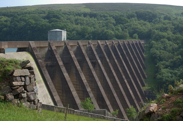
English: Wimbleball Dam, Somerset. Haddon Hill is in the background |
| Petsa | |
| Gigikanan | From geograph.org.uk |
| Tagsulat | Adrian Boliston |
| Pagtugot (Paggamit pag-usab niini nga file) |
Creative Commons Attribution Share-alike license 2.0 |
| Camera location | | View this and other nearby images on: OpenStreetMap |
|---|

|
This image was taken from the Geograph project collection. See this photograph's page on the Geograph website for the photographer's contact details. The copyright on this image is owned by Adrian Boliston and is licensed for reuse under the Creative Commons Attribution-ShareAlike 2.0 license.
|
This file is licensed under the Creative Commons Attribution-Share Alike 2.0 Generic license.
Attribution: Adrian Boliston
- Libre ka:
- sa pagsabwag – sa pagkopya, pag-apod-apod ug pagsabwag sa hinimo
- sa pag-remix – sa pag-adap sa binuhat
- Ubos sa mosunod nga mga kondisyon:
- atribusyon – Kinahanglan nimo nga hatagan ang angay nga kredito, maghatag usa ka link sa lisensya, ug ipakita kung adunay mga pagbag-o. Mahimo nimo kini buhaton sa bisan unsang makatarunganon nga paagi, apan dili sa bisan unsang paagi nga nagsugyot nga gi-endorso ka sa licensor o ang imong paggamit.
- share parehas – Kung imong gi-remix, gibag-o, o gibase sa materyal, kinahanglan nimo nga iapod-apod ang imong mga kontribusyon sa ilawom sa parehas o katugma nga lisensya sama sa orihinal.
Original upload log
The original description page was here. All following user names refer to en.wikipedia.
- 2007-11-24 12:48 Rodw 640×425×??? (92636 bytes) Wimbleball Dam Haddon Hill is in the background Creative Commons Licence [Some Rights Reserved] © Copyright Adrian Boliston and licensed for reuse under this Creative Commons Licence. see https://www.geograph.org.uk/photo/461224
Kaagi sa payl
I-klik ang petsa/oras aron makit-an ang hulagway sa payl niadtong panahona.
| Petsa/Takna | Thumbnail | Mga dimensyon | Tiggamit | Komento | |
|---|---|---|---|---|---|
| kasamtangan | 09:44, 1 Septiyembre 2008 | | 640 × 425 (90 KB) | TimTay | {{Information |Description={{en|Wimbleball Dam, Somerset. Haddon Hill is in the background}} |Source=Transferred from [http://en.wikipedia.org en.wikipedia] |Date=2007-11-24 (original upload date) |Author=Original uploader was Rodw at [h |
Mga paggamit sa payl
Ang mosunod nga mga panid misumpay niining payl:
Global nga paggamit sa payl
Kining ubang wiki naggamit ning maong payl:
- Paggamit sa en.wikipedia.org
- Paggamit sa simple.wikipedia.org
- Paggamit sa sv.wikipedia.org
- Paggamit sa www.wikidata.org