Bahía Huellonquén
Paghimo ni bot Lsjbot. |
| Bahía Huellonquén | |
| Estero de Cailin, Puerto de Guellunquen | |
| Luuk | |
| Nasod | |
|---|---|
| Rehiyon | Los Lagos |
| Gitas-on | 1 m (3 ft) |
| Tiganos | 43°09′25″S 73°32′20″W / 43.15697°S 73.53883°W |
| Timezone | BRT (UTC-3) |
| - summer (DST) | EDT (UTC-4) |
| GeoNames | 3887705 |
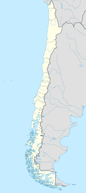
Luuk ang Bahía Huellonquén sa Tsile.[1] Nahimutang ni sa rehiyon sa Los Lagos, sa habagatang bahin sa nasod, 1,100 km sa habagatan sa Santiago ang ulohan sa nasod.
Ang mga gi basihan niini[usba | usba ang wikitext]
- ↑ Bahía Huellonquén sa Geonames.org (cc-by); post updated 2013-01-11; database download sa 2016-01-31

