Cañadón Boliche
Paghimo ni bot Lsjbot. |
| Cañadón Boliche | |
| Walog | |
| Nasod | |
|---|---|
| Lalawigan | Provincia de Santa Cruz |
| Gitas-on | 99 m (325 ft) |
| Tiganos | 50°58′10″S 69°27′05″W / 50.96945°S 69.4514°W |
| Timezone | ART (UTC-3) |
| GeoNames | 3864004 |
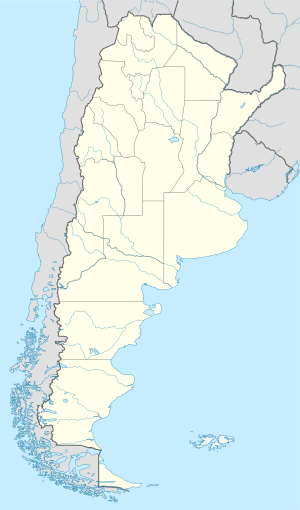
Walog ang Cañadón Boliche sa Argentina.[1] Nahimutang ni sa lalawigan sa Provincia de Santa Cruz, sa habagatang bahin sa nasod, 2,000 km sa habagatan-kasadpan sa Buenos Aires ang ulohan sa nasod.
Hapit nalukop sa kasagbotan ang palibot sa Cañadón Boliche.[2] Dunay mga 3 ka tawo kada kilometro kwadrado sa palibot sa Cañadón Boliche may kaayo gamay nga populasyon.[3] Ang klima bugnaw nga ugahon.[4] Ang kasarangang giiniton 7 °C. Ang kinainitan nga bulan Enero, sa 15 °C, ug ang kinabugnawan Hulyo, sa −2 °C.[5]
Ang mga gi basihan niini[usba | usba ang wikitext]
- ↑ Cañadón Boliche sa GeoNames.Org (cc-by); post updated 2011-04-19; database download sa 2015-06-27
- ↑ "NASA Earth Observations: Land Cover Classification". NASA/MODIS. Retrieved 30 Enero 2016.
- ↑ "NASA Earth Observations: Population Density". NASA/SEDAC. Retrieved 30 Enero 2016.
- ↑ Peel, M C; Finlayson, B L. "Updated world map of the Köppen-Geiger climate classification". Hydrology and Earth System Sciences. 11: 1633–1644. doi:10.5194/hess-11-1633-2007. Retrieved 30 Enero 2016.
{{cite journal}}: CS1 maint: unflagged free DOI (link) - ↑ "NASA Earth Observations Data Set Index". NASA. Retrieved 30 Enero 2016.

