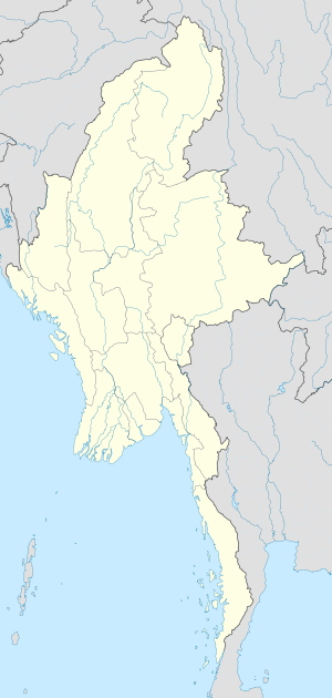
Mouths of the Ayeyarwady
Paghimo ni bot Lsjbot. |
| Mouths of the Ayeyarwady | |
| Mouths of the Irrawaddy | |
| Baba sa suba | |
| Nasod | |
|---|---|
| Tiganos | 15°41′53″N 94°49′39″E / 15.69804°N 94.82738°E |
| Timezone | MMT (UTC+6:30) |
| GeoNames | 1321852 |
Baba sa suba ang Mouths of the Ayeyarwady sa Burma.[1] Nahimutang ni sa habagatang bahin sa nasod, 500 km sa habagatan sa Nay Pyi Taw ang ulohan sa nasod. Mouths of the Ayeyarwady nidagayday paingon ngadto sa Andaman Sea.
Ang mga gi basihan niini[usba | usba ang wikitext]
- ↑ Mouths of the Ayeyarwady sa Geonames.org (cc-by); post updated 2012-12-06; database download sa 2016-10-22

